

Spatial data represents the physical location and shape of objects on Earth. This data plays a crucial role in various fields. Urban planning, environmental management, and disaster response rely on spatial data for informed decision-making. Organizations report significant improvements in processes after integrating spatial data. A survey shows that 78% of organizations experience better decision-making with spatial data. The importance of spatial data continues to rise. Enterprises plan to increase investments in spatial data science. This trend highlights the growing need for understanding spatial data in today's world.
Understanding Spatial Data

Definition of Spatial Data
Spatial data refers to information about the location and shape of physical objects on Earth. This data provides insights into geographical areas and their characteristics. Spatial data helps in understanding the distribution of various phenomena across different regions.
Characteristics of Spatial Data
Spatial data possesses unique characteristics that distinguish it from other data types. One key feature is its ability to represent both geometric and geographic information. Geometric data focuses on shapes and dimensions, while geographic data emphasizes location and spatial relationships. Spatial data often includes attributes such as coordinates, elevation, and boundaries. These attributes help in analyzing spatial patterns and trends.
Types of Spatial Data
Spatial data can be broadly categorized into two main types: vector and raster data. Vector data represents features using points, lines, and polygons. This type is useful for mapping discrete objects like roads and buildings. Raster data, on the other hand, uses a grid of cells to represent continuous surfaces. This type is ideal for representing phenomena like temperature and elevation. Both types play crucial roles in spatial analysis and decision-making processes.
Sources of Spatial Data
Spatial data comes from various sources, each offering unique insights into geographical information. These sources provide valuable data for analysis and application in different fields.
Geographic Information Systems (GIS)
Geographic Information Systems (GIS) serve as a primary source of spatial data. GIS technology captures, stores, and analyzes spatial data to create detailed maps and models. GIS helps in visualizing spatial relationships and patterns. Organizations use GIS to make informed decisions in urban planning, environmental management, and more.
Remote Sensing
Remote sensing involves collecting spatial data from satellites or aircraft. This method captures images and data about Earth's surface without direct contact. Remote sensing provides valuable information for monitoring land use, vegetation, and climate change. This technology plays a vital role in environmental studies and disaster management.
Global Positioning Systems (GPS)
Global Positioning Systems (GPS) offer precise location data by using satellites. GPS technology helps in navigation, tracking, and mapping. Everyday applications like navigation apps and delivery services rely on GPS data. GPS provides accurate spatial data for various industries, enhancing efficiency and accuracy.
Applications of Spatial Data

Spatial data serves as a powerful tool across various sectors. You can harness its potential to address complex challenges and make informed decisions. Explore how spatial data transforms environmental monitoring, urban planning, and business strategies.
Environmental Monitoring
Spatial data plays a crucial role in environmental monitoring. You can use it to track changes in ecosystems and manage natural resources effectively.
Climate Change Analysis
Spatial data provides insights into climate change patterns. You can analyze temperature variations and monitor shifts in vegetation. This data helps identify areas most affected by climate change. Effective analysis supports targeted conservation efforts. You can implement strategies to mitigate adverse effects on the environment.
Natural Resource Management
Spatial data aids in managing natural resources. You can monitor the use of crucial assets like water and forests. This data allows for sustainable resource management. Conservationists rely on spatial data to protect endangered habitats. You can ensure the preservation of biodiversity through informed decision-making.
Urban Planning and Development
Urban planners utilize spatial data extensively. You can visualize and designate areas for various purposes. This data supports meticulous planning and zoning.
Infrastructure Planning
Spatial data assists in infrastructure planning. You can map existing structures and identify areas for development. This data helps design efficient transportation networks. Urban planners use spatial data to optimize land use. You can enhance the quality of life in urban areas through strategic planning.
Transportation Systems
Spatial data improves transportation systems. You can analyze traffic patterns and optimize routes. This data supports the development of efficient public transit networks. Transportation planners rely on spatial data to reduce congestion. You can create sustainable and accessible transportation solutions.
Business and Marketing
Businesses leverage spatial data for strategic decision-making. You can gain valuable insights into consumer behavior and market trends.
Location-Based Services
Spatial data powers location-based services. You can provide personalized recommendations to users. This data enhances user experiences in navigation apps and retail platforms. Businesses use spatial data to target specific demographics. You can improve customer engagement and satisfaction through tailored services.
Market Analysis
Spatial data informs market analysis. You can identify potential markets and assess competition. This data supports strategic planning and expansion efforts. Marketers rely on spatial data to understand consumer preferences. You can optimize marketing campaigns and increase profitability.
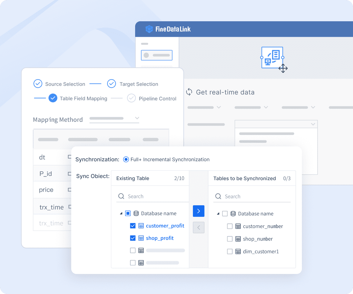
Spatial data offers immense value across diverse fields. You can unlock its potential to address environmental, urban, and business challenges. FineDataLink, an all-in-one data integration platform developed by FanRuan, facilitates seamless access to spatial data. This platform empowers you to make data-driven decisions with confidence.

Challenges in Spatial Data
Spatial data presents unique challenges that require careful consideration. Understanding these challenges can help you manage spatial data effectively and ensure its reliability.
Data Accuracy and Quality
Data accuracy and quality are critical for effective spatial data use. Inaccurate data can lead to poor decision-making and flawed analyses.
Sources of Error
Errors in spatial data can arise from various sources. Measurement errors occur during data collection, affecting the precision of spatial data. Instrumental errors result from faulty equipment or incorrect calibration. Human errors happen when individuals input or interpret data incorrectly. Each error type affects the overall quality of spatial data.
Data Validation Techniques
Data validation techniques ensure spatial data accuracy and reliability. Cross-referencing data with multiple sources helps identify inconsistencies. Statistical methods detect anomalies and outliers in spatial data sets. Regular updates and maintenance keep spatial data current and accurate. These techniques enhance the trustworthiness of spatial data.
Data Privacy and Security
Data privacy and security are vital when handling spatial data. Protecting sensitive information ensures compliance with regulations and ethical standards.
Ethical Considerations
Ethical considerations guide the responsible use of spatial data. Organizations must respect individual privacy rights when collecting spatial data. Consent from data subjects is essential for ethical data use. Transparency in data collection and usage builds trust with stakeholders. Ethical practices safeguard privacy and maintain public confidence in spatial data applications.
Regulatory Frameworks
Regulatory frameworks govern spatial data use and protect privacy. The Geospatial Data Act of 2018 outlines responsibilities for managing spatial data infrastructure. Compliance with regulations ensures lawful data handling and usage. Organizations must stay informed about legal requirements for spatial data. Adhering to regulatory frameworks promotes ethical and secure spatial data practices.
Spatial data challenges require attention to detail and adherence to best practices. Addressing data accuracy, quality, privacy, and security ensures reliable and ethical spatial data use.
Future Trends in Spatial Data
Technological Advancements
Integration with AI and Machine Learning
Artificial Intelligence (AI) and Machine Learning (ML) are transforming spatial data analysis. AI algorithms analyze vast amounts of geospatial data. These algorithms identify patterns and detect changes. AI and ML improve accuracy and automate tasks. Industries gain new insights from spatial data through these technologies. The adoption of AI and ML in geospatial analysis is increasing. As these technologies mature, accessibility improves.
Real-Time Data Processing
Real-time data processing enhances spatial data applications. Immediate data access allows for quick decision-making. Industries benefit from up-to-date information. Real-time processing supports dynamic systems like traffic management. This technology enables real-time monitoring and response. Organizations can address issues as they arise. Real-time data processing ensures timely and effective actions.
Expanding Applications
Smart Cities
Smart cities rely on spatial data for efficient operations. Urban areas use spatial data to manage resources and infrastructure. This data supports sustainable development and energy management. Smart cities enhance quality of life through data-driven solutions. Spatial data aids in optimizing public services and transportation. The integration of technology creates more livable urban environments.
<iframe
      frameborder="0"
      allowfullscreen="true"
      style="display: block; width: 100%; height: 400px; visibility: visible;"
      src="https://endemo.finereport.com/webroot/decision/view/form?viewlet=demo%252FDashboard%252FSmart%2BCity%2Bwith%2BMap%2BLinkage.frm&ref_t=design&ref_c=fb189148-48c6-4fb4-adc9-f2701cdf62f7"
    ></iframe>

Disaster Management
Disaster management benefits from spatial data applications. Authorities use spatial data to assess risk and plan responses. This data helps in predicting natural disasters and mitigating impacts. Emergency services rely on spatial data for coordination and resource allocation. Spatial data improves preparedness and recovery efforts. Effective disaster management reduces loss and enhances community resilience.
Spatial data holds immense significance in understanding the world. Spatial data analysis empowers you to solve problems related to the location of objects. You can explore data and study relationships. Spatial data helps evaluate trends and make high-quality forecasts. Spatial analysis serves as a valuable tool across various fields. You can use it in epidemiology, urban planning, and environmental conservation. The future potential of spatial data is vast. Spatial analysis contributes to a more sustainable and well-informed world. Embrace spatial data to make informed decisions and drive positive change.
FAQ
Spatial data serves multiple purposes across various sectors. Businesses use spatial data to improve customer experiences and increase revenue. Urban planners rely on spatial data for infrastructure development. Environmentalists use spatial data to monitor ecosystems and manage natural resources.
Spatial data provides insights into geographic patterns and trends. Organizations can make informed decisions based on accurate spatial analysis. This leads to better results and reduced costs. Spatial data helps industries comply with regulations and protect health and safety.
Geographic Information Systems (GIS) are popular tools for spatial data analysis. GIS technology captures, stores, and analyzes spatial data. Remote sensing and GPS also provide valuable spatial data. These tools enhance productivity and efficiency in various applications.
Accurate spatial data ensures reliable analysis and decision-making. Errors in spatial data can lead to flawed conclusions and poor outcomes. Validation techniques help maintain data quality. Cross-referencing and statistical methods detect inconsistencies in spatial data.
Spatial data helps businesses achieve goals and improve customer satisfaction. Companies use spatial data for market analysis and location-based services. This data supports strategic planning and enhances competitiveness. Spatial data analysis leads to increased productivity and revenue.

Continue Reading About Spatial Data
2025 Best Data Integration Solutions and Selection Guide
Explore top data integration solutions for 2025, enhancing data management and operational efficiency with leading platforms like Fivetran and Talend.
Howard
Dec 19, 2024
Best Data Integration Platforms to Use in 2025
Explore the best data integration platforms for 2025, including cloud-based, on-premises, and hybrid solutions. Learn about key features, benefits, and top players.
Howard
Jun 20, 2024
Best Data Integration Vendors for Seamless Workflows
Discover the top 20 data integration vendors of 2025 for seamless workflows. Compare tools like Talend, AWS Glue, and Fivetran to optimize your data processes.
Howard
Jan 22, 2025
Customer Data Integration: A Comprehensive Guide
Master customer data integration to enhance business operations by combining data from multiple sources for a comprehensive customer view.
Howard
Sep 07, 2024
Enterprise Data Integration: A Comprehensive Guide
Explore enterprise data integration with this comprehensive guide. Learn the benefits of enterprise data integration and the best practices.
Howard
Jul 10, 2024
Exploring SAP Data Integration Tools and Their Functions
Explore SAP Data Integration tools like SAP Data Services, SAP HANA Smart Data Integration, and SAP Cloud Platform Integration.
Howard
Aug 12, 2024

